On this page you will find a short description on how to hike to Kol-Tor lake, starting from Toodo. The path will lead you up the valley our camping space is situated in and into the mountains.

If you have the time and are looking for even more of a challenge, you will be able to continue your hike from Kol-Tor lake further up into the mountains. Based on the observations of our volunteer Genís, we recommend to bring good hiking gear though and a little bit of experience.
Additionally, make sure to always check the weather report beforehand or ask one of your members. It can change pretty quickly in the mountains and you don’t want to be in an unfamiliar area with the wrong clothes.
The trip to Kol Tor lake is roughly 11km one way and contains an change of altitude of more than 1000m.
But without further ado, let’s go!
Start backtracking the road next to Toodo a bit and cross the river over the main bridge. Then start up that road (it is the one left of Toodo when you face up the valley). You can comfortably follow this road for a while. After about 1:30h you will see the last houses/yurths.
If you came by car, you are also able to skip this first part, drive and start from here.
Here the internet slowly fades out and by the last house you probably won’t have any connection anymore. Here comes nature!

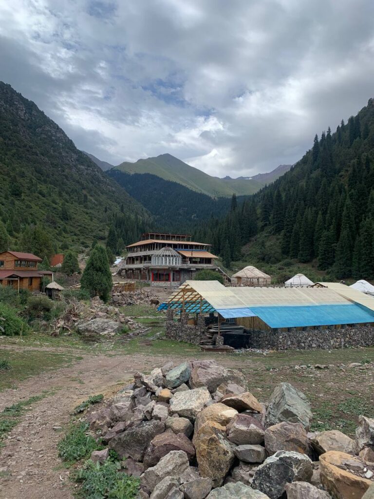
Around here is also where a camp is being built as of August 2023. You have to cross it and on the other end you will find an info post about the hike and Kol-Tor lake – it will be the only post on the route but don’t worry.
The route up the valley and mountains is pretty easy to follow. At this point the real hike starts. First, you follow the path next to the river and then enter the woods after a bit.
You may encounter obstacles like fallen trees or smaller bodies of water. Nothing serious should be in your way though and you don’t have to traverse major obstacles.
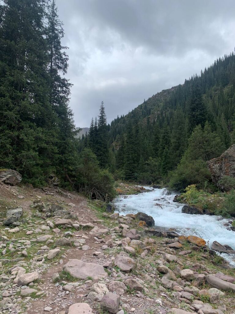

The path will still be easy to follow, so don’t be afraid about getting lost. After pathing through the woods for roughly 30 minutes, you will leave them behind again. Now comes the hardest part of the hike, since the next few hundred meters are super steep. Be careful with your steps.

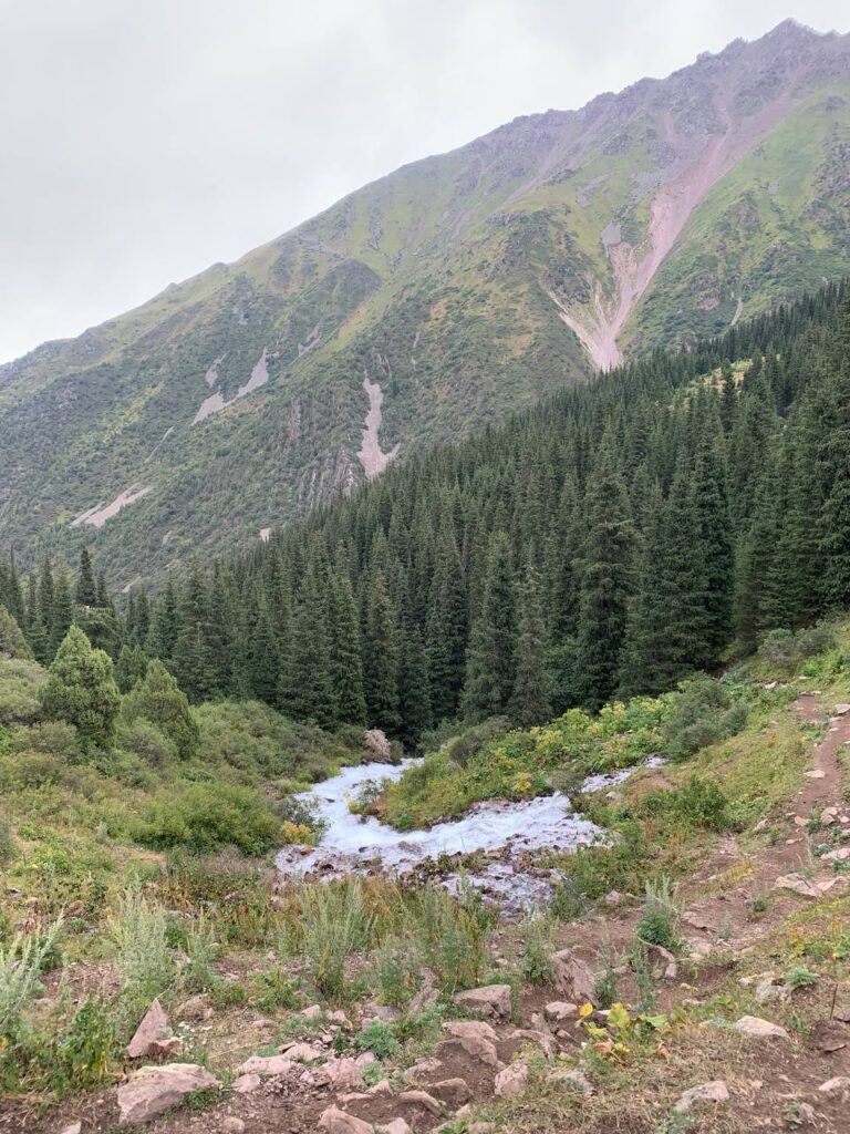
Once you mastered this section, you’ll find a new path very close to the river and heading into the woods again.
About 15 to 20 minutes later, you will emerge from the woods once more and leave them and the river behind. At this point, you turn left, up the last part of the trail. On the right is a picture facing down the valley you came up from. The left turn is made looking up the valley of course.
The next part is hiking up the stony, grassy mountainside, with another steep part coming up. It is, however, not as challenging as the one before. Once you reach the top of the hill, you’ll see a small lake a few hundred meters away.
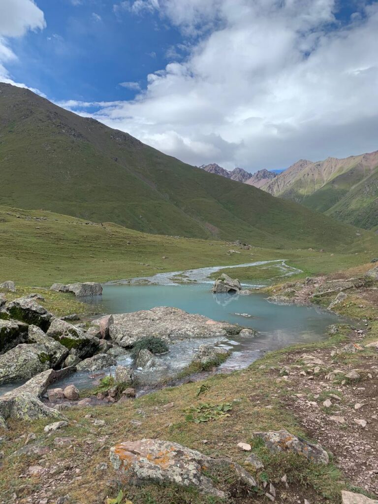
Congrats you made it! Just kidding, the lake pictured on the left is only the final teaser before Kol-Tor itself.
You can cross the lake on the left shore, walking to the end where the river coming from the glacier ends.
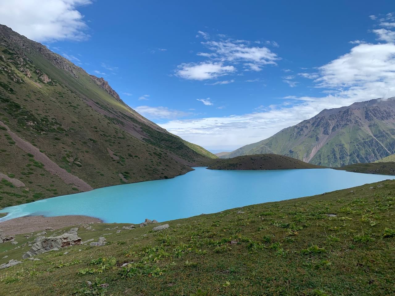
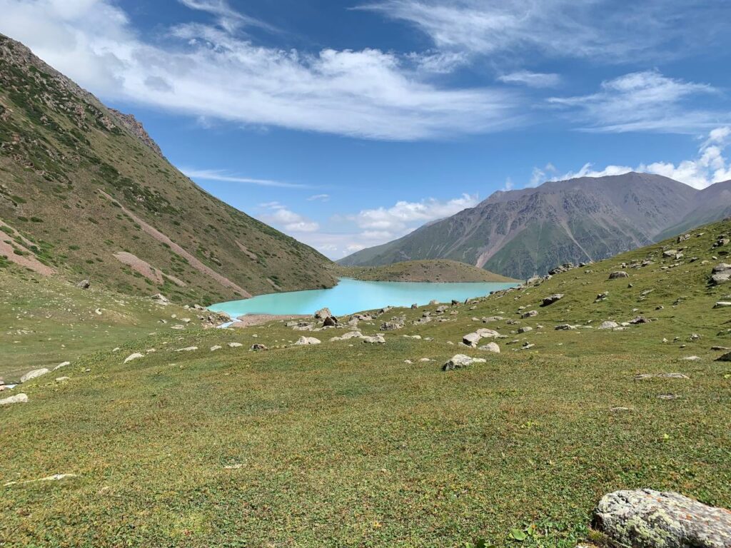
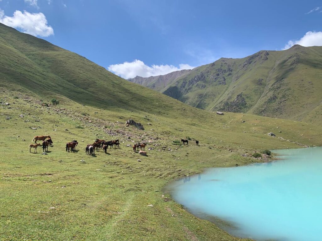
Here you finally reach Kol-Tor lake and see its mesmerizing beauty with your own eyes! Congratulations, you made the hike! In total you will have hiked roughly 11 km to get here. Below are some pictures to prepare you for what awaits.
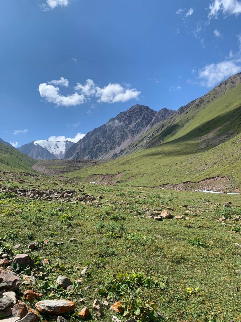
If you are on the adventurous side of life and have time and energy to spare, you can continue your hike from here. According to Genís it is more challenging though and you should definitely have good hiking boots and not go alone.
You will have a nice view of the snow-capped mountain and enjoy the picturesque landscape even more. Below are a couple of pictures from this part.


If you have any further questions about this hike, we are happy to answer them!